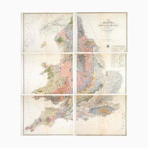
Geological Map of England and Wales on Six Sheets, Set of 6
CA$44,105
You are now following Charts. You can manage alerts in your account settings.
You have unfollowed Charts.
Geological Map of England and Wales on Six Sheets, Set of 6
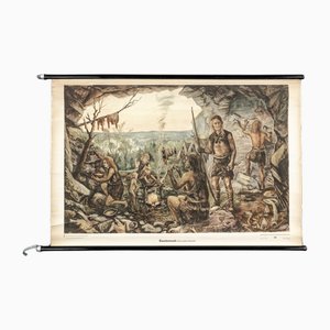
Charts of Maps from Ice Age Man
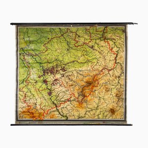
Charts of Physical Maps from North Rhine Westphalia NRW
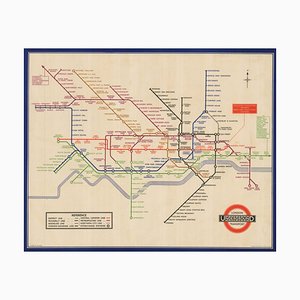
London Transport Underground A Double Crown Poster Map of the Tube by Beck, 1935
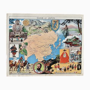
Illustrated Map of China and Japan by Émile-Joseph-Porphyre Pinchon, 1948
American Red Cross Map of Italy, First World War, 1919

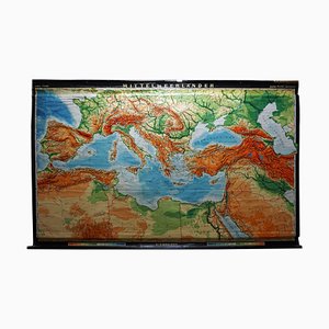
Vintage Rollable Map Mediterranean Countries Wall Chart Mural Poster, 1970s
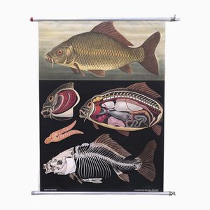
Quentell Carp Chart by Jung Koch
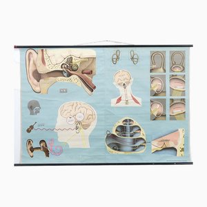
The Hearing and the Sense of Balance Chart
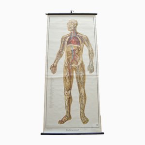
Blood Circulation Anatomic Wall Chart from German Health Museum Cologne, 1952
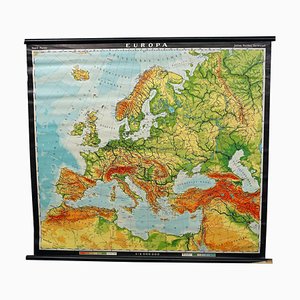
European Wall Chart, 1970s
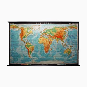
Vintage Mural World Map, 1970s
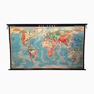
World Pull-Down School Map by Hermann Haack, 1970s
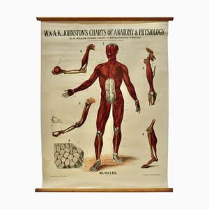
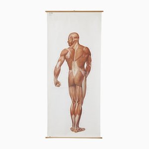
Large University Anatomical Muscles Chart by Turner, 1920s
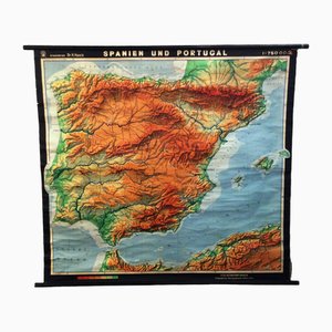
Spanish Pull-Down Map by Hermann Haack, 1970s
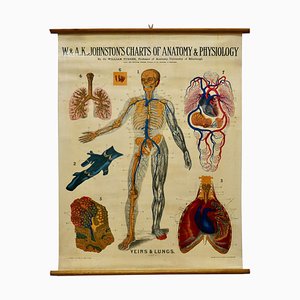
Large University Anatomical Chart Veins and Lungs by Turner, 1920s
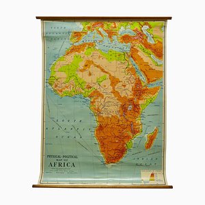
Charts of Physical Maps by G.W. Bacon, 1920s
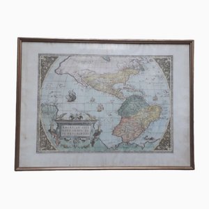
Antique Watercolor Print Map or the Americas, 1890s
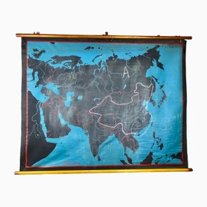
Beech Asia Map, 1940s
Large Anatomical Wall Chart from Deutsche Hygiene Museum, Dresden, 1992
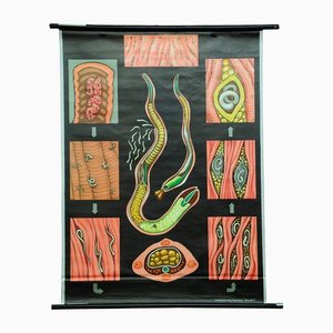
Trichina Rollable Poster Print Wall Chart by Jung Koch Quentell
Vintage Biology Animals Red Wood Ant School Wall Chart by Jung Koch Quentell

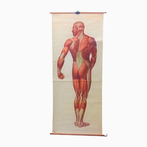
Vintage School Board "Muscle of Man", Germany, 1950s
School Teaching Map by Dr. Grummann for Gambke Berlin, 1960s
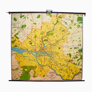
Vintage Map of Hamburg by Dr. Riediger for Verlag JEHA Lehrmittelanstalt, 1960s
Trending