Shipping quote request
We’ll calculate the shipping price as soon as getting your request.
Shipping quote request
We’ll calculate the shipping price as soon as getting your request.
You May Also Like
More from this Dealer
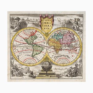
18th Century Double-Hemisphere World Map
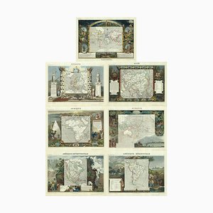
Maps of the World & Continents, Set of 7
George Stubbs, Illustration That Introduced the Kangaroo to the British Public, 1700s, Print

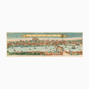
Antique Map of London by Gabriel Gualdo Priorato, 1675
A Sperm Whale Beached Near Scheveningen in 1598, 1700s, Print

Pimlico and Belgravia from an Important Large-Scale Survey of London

Chart of the Copernican Solar System, 1700s

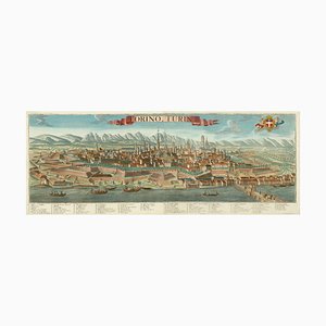
Prospect of Turin Map
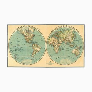
Late 19th Century Double-Hemisphere World Map in Cyrillic
Early 18th Century Map of the British Isles by N. De Fer, 1705

Map of France Celebrating the Military Successes of Louis XIV

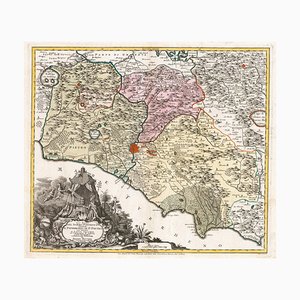
18th Century Map of the Papal States
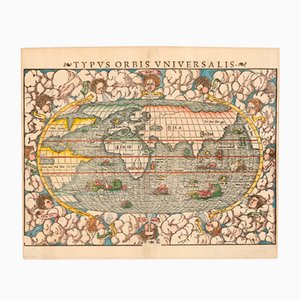
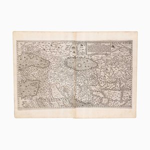
Typus Orbis Universalis Map by Sebastian Munster, 1552
Early 19th Century Original Table of Maritime Flags

George Morland, Anti-Slavery Scenes, Colour Prints, Set of 2

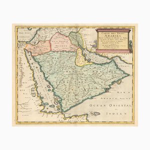
17th Century French Map of Arabia
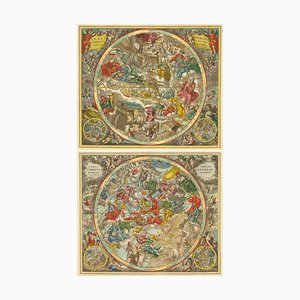
Celestial Charts with Christian Iconography, Set of 2
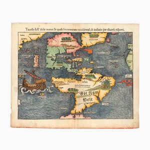
Antique First Map of the Continent of America by Sebastian Munster, 1558
Map of the Middle East from Lafreri
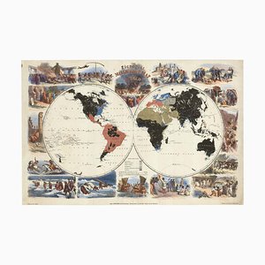
Pictorial Map of the World Promoting Protestant Missionary Work
More Products


Get in Touch
Make An Offer
We noticed you are new to Pamono!
Please accept the Terms & Conditions and Privacy Policy
Get in Touch
Make An Offer
Almost There!
To follow your conversation on the platform, please complete the registration. To proceed with your offer on the platform, please complete the registration.Successful
Thanks for your inquiry, someone from our team will be in touch shortly
If you are a Design Professional, please apply here to get the benefits of the Pamono Trade Program